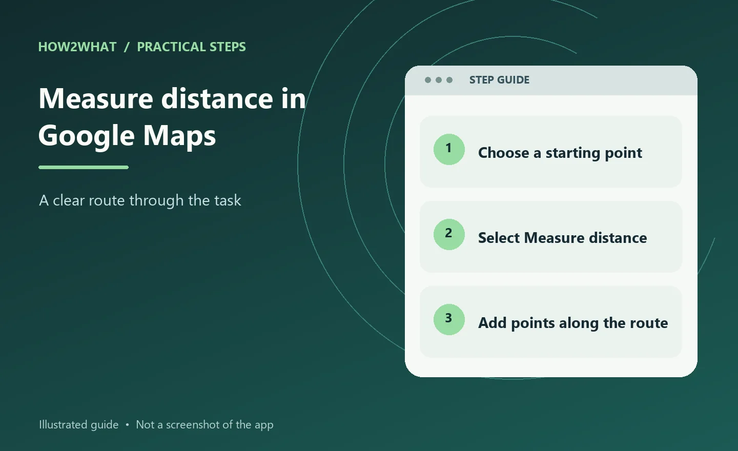
Google Maps has a built-in measuring tool for checking the distance between points on the map. It is useful for comparing two locations, tracing a rough walking route, estimating the length of a shoreline or checking the size of a mapped area. The control works differently with a mouse and touchscreen, and the number it shows is not automatically the same as the distance you would travel on roads or paths.
On a computer, open Google Maps, right-click your starting point and choose Measure distance. Click the next point, then keep clicking to trace a multi-point line; the total appears at the bottom in miles and kilometres. In the Android or iPhone app, touch and hold an empty spot on the map, choose Measure distance, move the map until the black circle is over the next point and tap Add point. Use Google Maps directions instead when you need a road, walking, cycling or public transport distance.
Measure distance on a computer
Open Google Maps in a browser and move the map so that your starting point is easy to identify. Right-click the point. In the menu that appears, select Measure distance. A measuring line starts from that location.
Click the second point on the map. Google Maps displays the total distance in a card at the bottom, with miles and kilometres. For a route that bends around a lake, follows a footpath or crosses several streets, click each bend or waypoint in turn. Every click adds another segment, so the total becomes a closer description of the line you have drawn rather than a single straight measurement.
You can correct the line while it is open. Click and drag a point or part of the path to reposition it, or click a point to remove it. When you have finished, select Close on the card at the bottom.
Measure distance in the mobile app
Open the Google Maps app on an Android phone, Android tablet, iPhone or iPad. Touch and hold a part of the map that is not a place name or an icon. A red pin appears. Choose Measure distance from the information panel.
The app puts a black circle over the map. Move the map itself until that circle sits on the next location you want to measure, then tap Add point in the bottom-right corner. The total appears at the bottom in miles and kilometres. Repeat the move-and-add process for each bend or change of direction.
To remove the last point, tap Undo. To clear the whole line, open More and choose Clear. When the measurement is finished, tap the back arrow in the top-left corner. If a long press selects a business instead, press on an unlabelled patch of map rather than on its name or symbol.
Choose the right kind of distance
Use Measure distance when you want a map measurement between chosen points. It is suitable for a straight comparison between two places or for a line made from several deliberate segments. Adding points around a bend can approximate the shape of a trail, riverbank or property boundary, but it remains a line drawn on the map.
For a journey, search for the destination and select Directions. Choose the relevant travel mode, such as driving, walking, cycling or public transport. Directions use the mapped network and can account for available roads and paths; the measuring tool does not turn a straight line into a legal or usable travel route.
Read and refine the result
Zoom in before placing points where accuracy matters. A point placed on the wrong side of a road, field or inlet can change the total, particularly over a short distance. Add more points wherever the real line changes direction instead of expecting one long segment to follow it.
Check the unit shown beside the total before copying the figure into notes. Google Maps shows both miles and kilometres in the measuring panel. Treat the result as an estimate of the line you selected: map imagery, pin placement and the scale of the feature can all limit precision.
Why the measuring line may not match a journey
The tool measures the geometry of your selected points. It does not automatically know that a fence blocks a direct crossing, that a footpath is closed, that a bridge is the only crossing or that a car must stay on a road. A two-point measurement is therefore often shorter than the distance someone would actually travel.
For example, measuring from one side of a park to the other gives a useful broad comparison, but it does not tell you the length of the park's signed walking route. To estimate a known trail, add points along its bends. To plan a trip with turn-by-turn instructions, use Directions and inspect the suggested route instead.
How to measure a curved or irregular route
Start at one end and add a point every time the line changes direction. On a computer, clicking the map creates each new segment. On a phone, move the map so the black circle reaches the next bend, then tap Add point. Keep the map at a useful zoom level: too far out makes it hard to follow a narrow path, while too close makes it tedious to position many points.
For a rough area comparison, trace the boundary by continuing around it and adding points until you return near the start. The ordinary distance tool reports the length of the line you drew, not the area inside it. Do not treat a hand-drawn boundary as a survey, legal boundary or exact land measurement.
If Measure distance is missing
On a computer, Google says the measuring feature is unavailable in Maps Lite mode. The lightning-bolt indicator at the bottom identifies that mode. Use the standard Google Maps experience if it is available on the device and connection you are using. On a phone, make sure you are using the Google Maps app rather than a lighter alternative that does not support measuring.
If the mobile menu does not appear, move away from a labelled place and press on an unlabelled map area. A press on a business name or icon can open that place's details instead. If the line is already present but the figure looks wrong, undo the last point and place it again after zooming in.
When a scale bar is more useful
A scale bar is helpful when you are comparing map features visually rather than tracing a route. Google Maps lets Android and iPhone/iPad users choose whether the scale is shown while zooming or all the time. In the app, open your profile picture or initial, choose Settings, then App and display (the wording may be localised), followed by Show scale on map. Select When zooming in and out or Always.
The scale bar does not replace the measuring tool when you need a total through several points. It is best used as a quick visual check that you are working at an appropriate zoom level and that a short line has not been mistaken for a long one.
Tips
-
Place the first point on the map itself, not on a business label or icon, when using the phone app.
-
Add points at bends rather than trying to make one straight segment represent a winding path.
-
Use Directions for an actual travel distance and the measuring tool for a custom line between map points.
-
Zoom in before placing short-distance points, then zoom out only after the line is positioned.
Warnings
-
A measured line is not a guaranteed walking, driving or cycling route. It may cross private land, water, restricted areas or places without a mapped path.
-
Do not use a hand-drawn Google Maps measurement as a legal boundary, land survey or safety-critical distance.
-
Google Maps Lite mode does not support measuring distance between points.
Sources
-
Google Maps Help - Measure distance between points (Computer): https://support.google.com/maps/answer/1628031?hl=en&co=GENIE.Platform%3DDesktop
-
Google Maps Help - Measure distance between points (Android): https://support.google.com/maps/answer/1628031?co=GENIE.Platform%3DAndroid&hl=en-GB
-
Google Maps Help - Measure distance between points (iPhone and iPad): https://support.google.com/maps/answer/1628031?co=GENIE.Platform%3DiOS&hl=en-GB
-
Google Maps Help - Use a lighter version of the Google Maps app: https://support.google.com/maps/answer/7566112?hl=en